The chap you rented us the camper said we should visit Akaroa.
When Maggie reads about it it seems that it a great place to see and potentially swim with the New Zealand Hunter Dolphin one of the smallest of the Dolphin breed.
Akaroa is about 75 kms from Christchurch and most of the journey is through countryside that reminds me of the lowlands of Scotland. The only manmade interest is the silo apartments. These are made from silos and look neat. If only we weren’t tortoises carrying our home with us we would try them out.
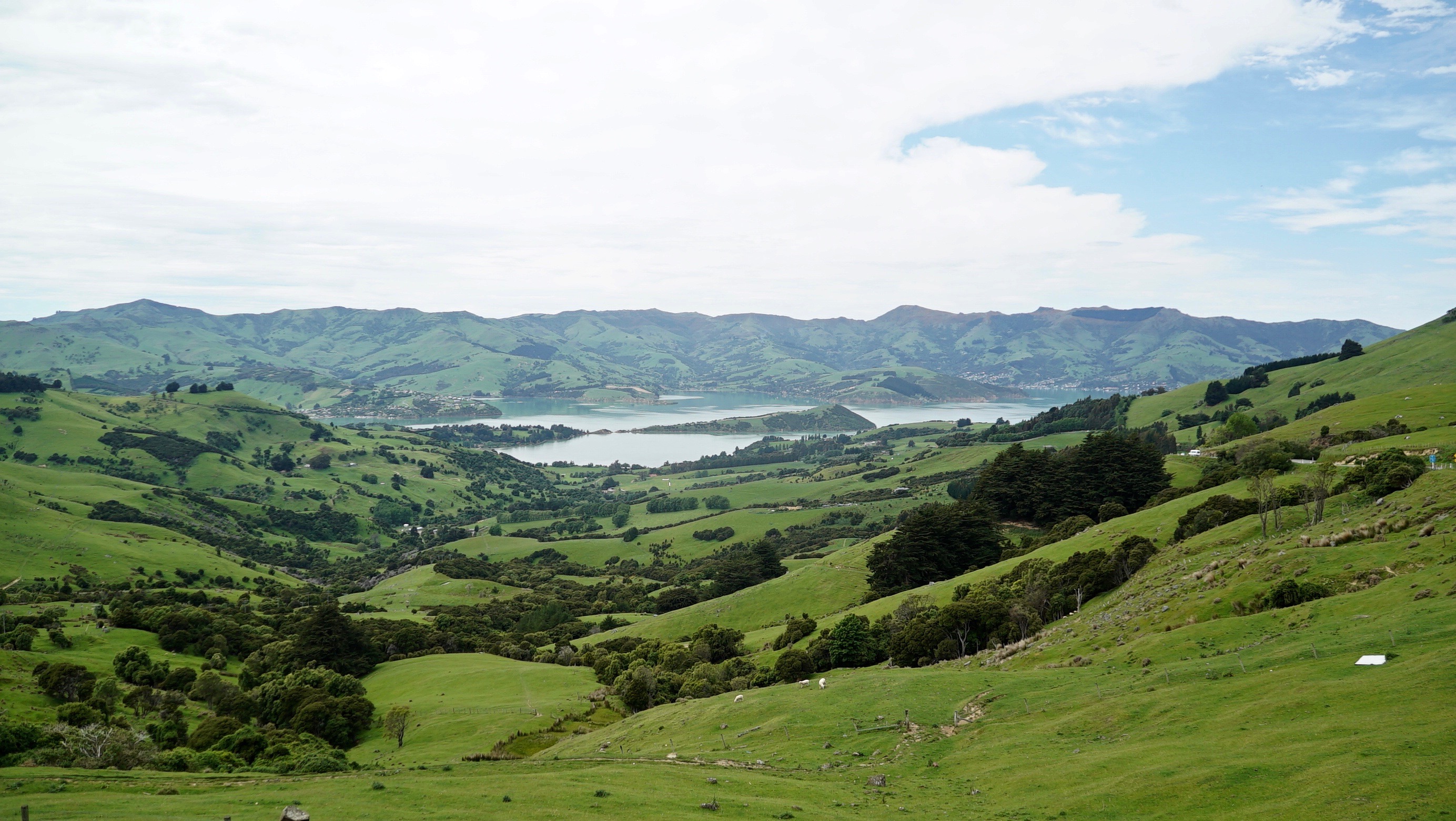
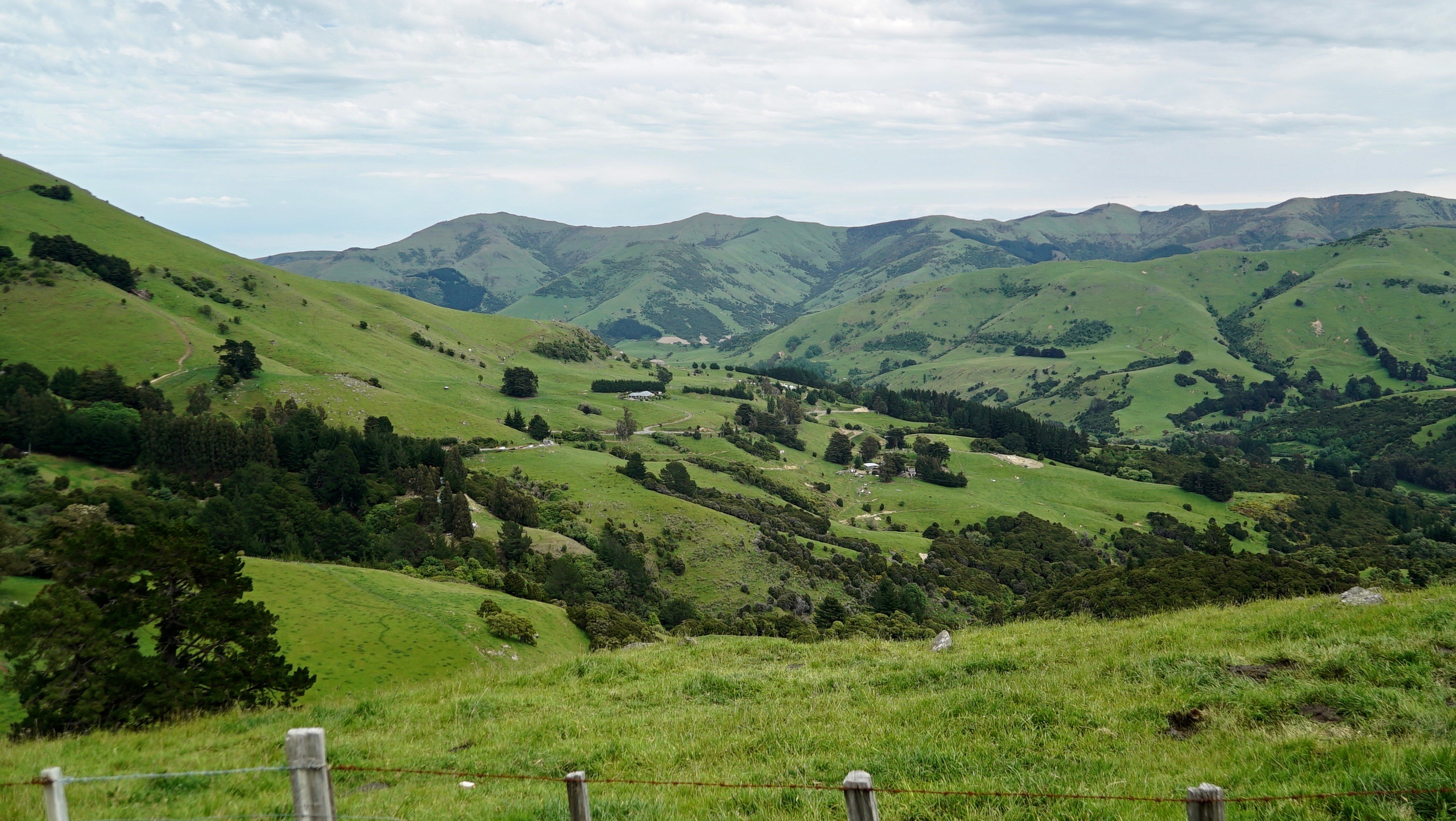
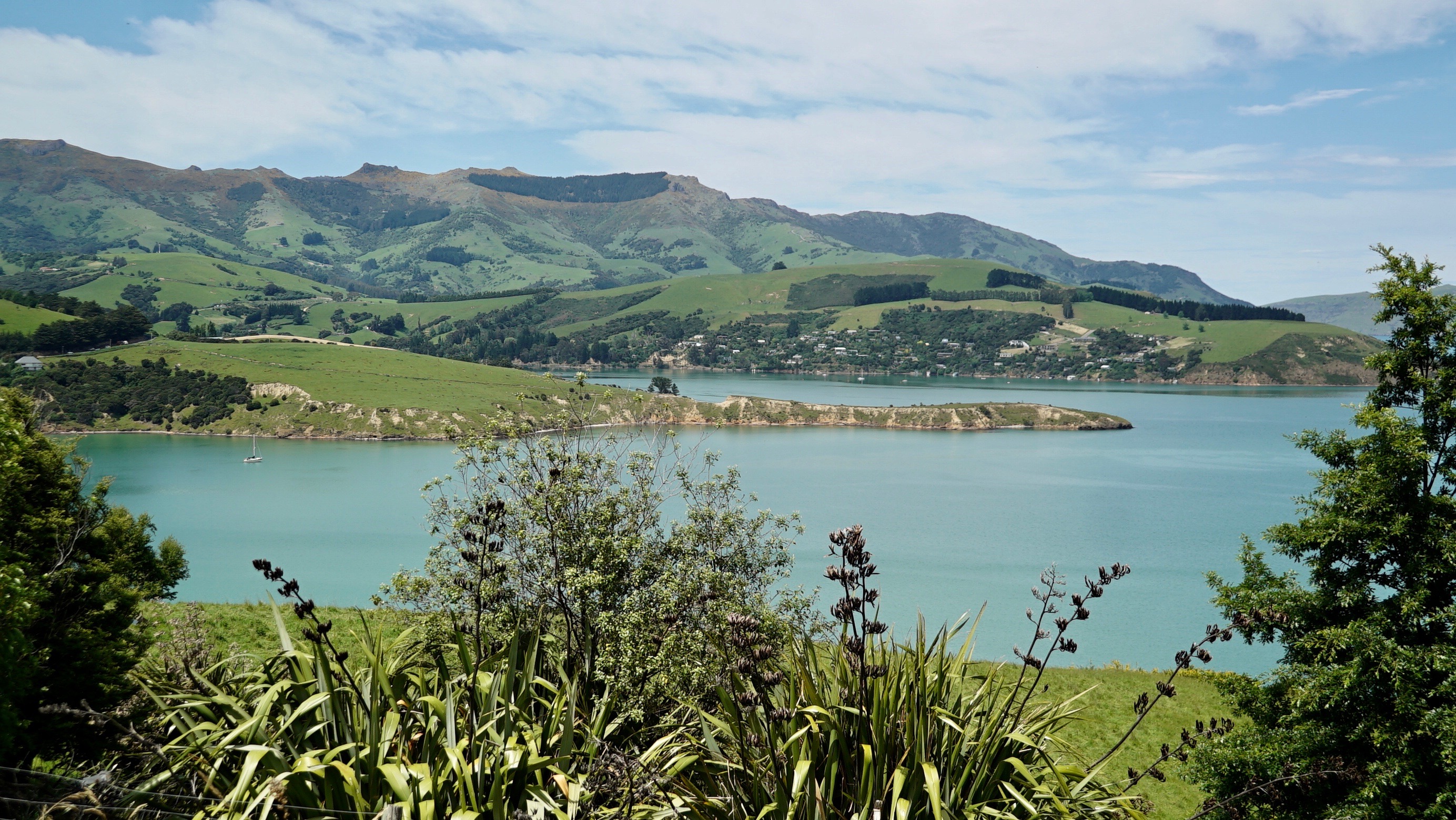
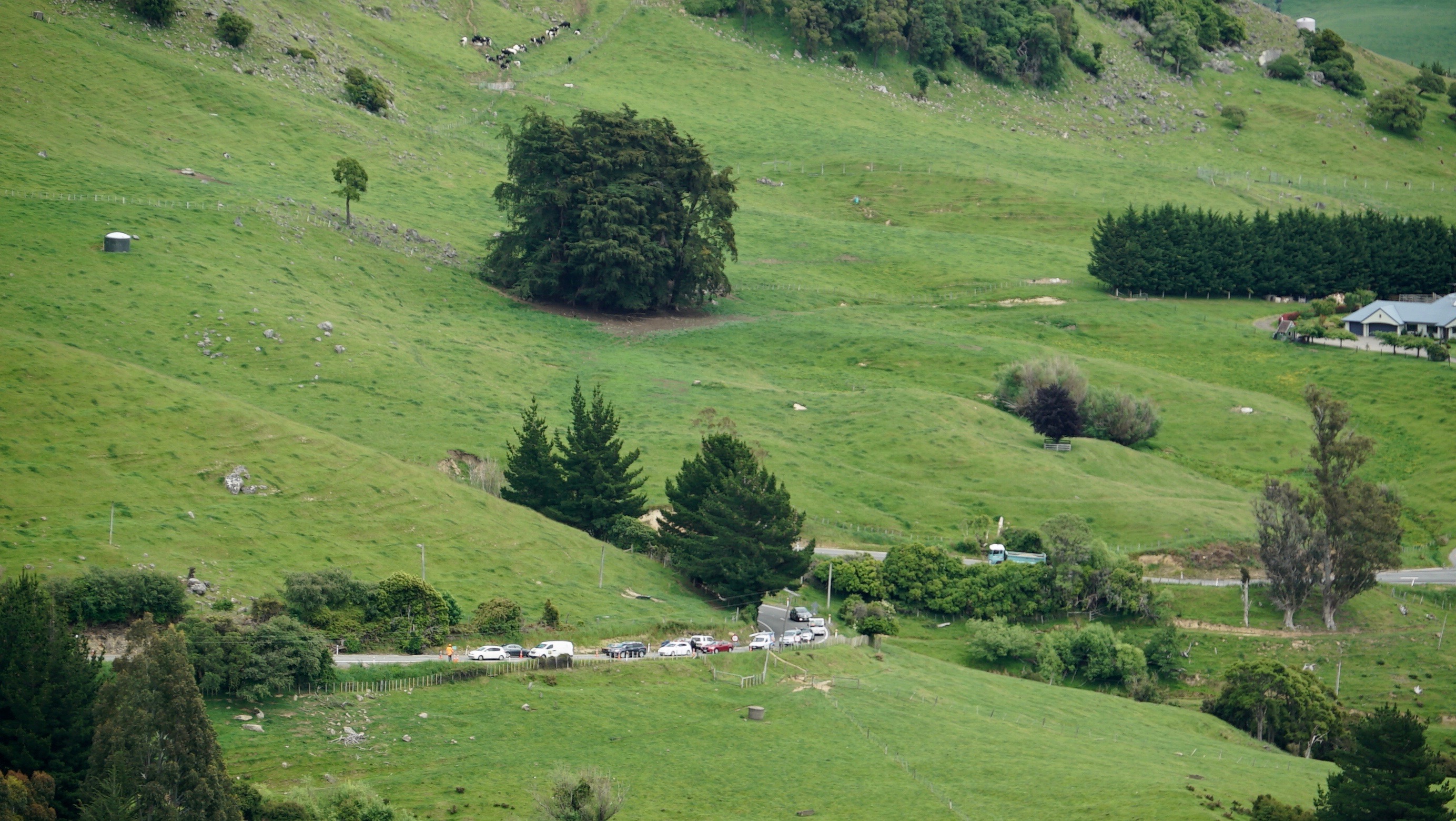
The last part of the journey climbs into the hills and gives plenty of opportunity to stop and take more photos.
I think this is to be a feature of New Zealand.
We stop and chat to some people from Christchurch who tell us we are doing the right thing as Akaroa is peaceful, beautiful and well worth a visit. They are bringing their Los Angelos visitors there.
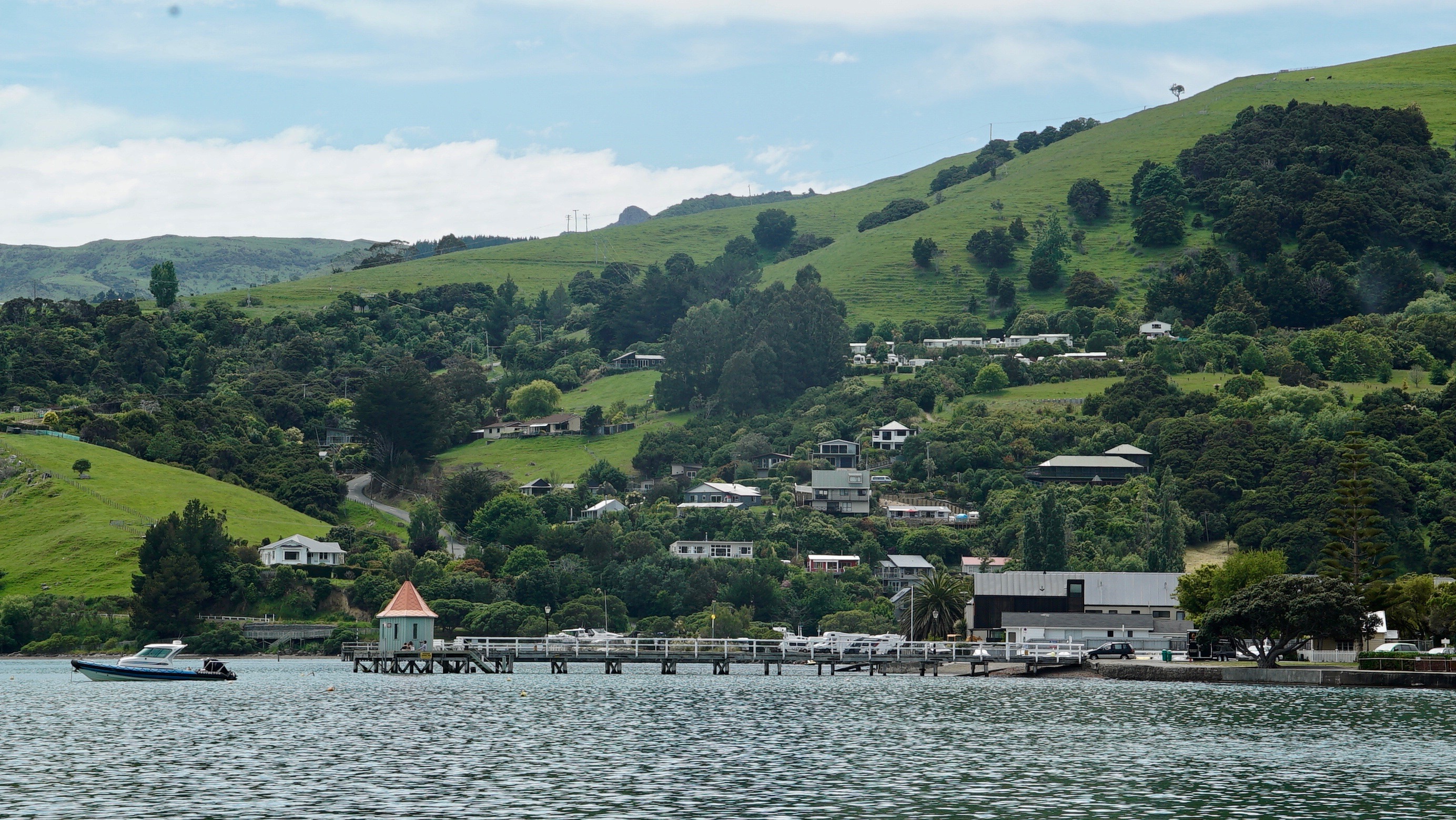
Māori refers to the Banks Pennisula as Te Pātaka o Rākaihautū (the great storehouse of Rākaihautū). Rākaihautū was a noted early explorer who travveled to the South Island, settling in the peninsula to take advantage of the bountiful supply of mahinga kai (foods of the forest, rivers, seas, lakes and skies) especially the eel and shellfish. Akaroa is the Ngāi Tahu word got long Harbour, it’s waters traditionally provide the primary sustenance for the people of Ōnuku Marae.
There you go, a little culture thrown in for free.
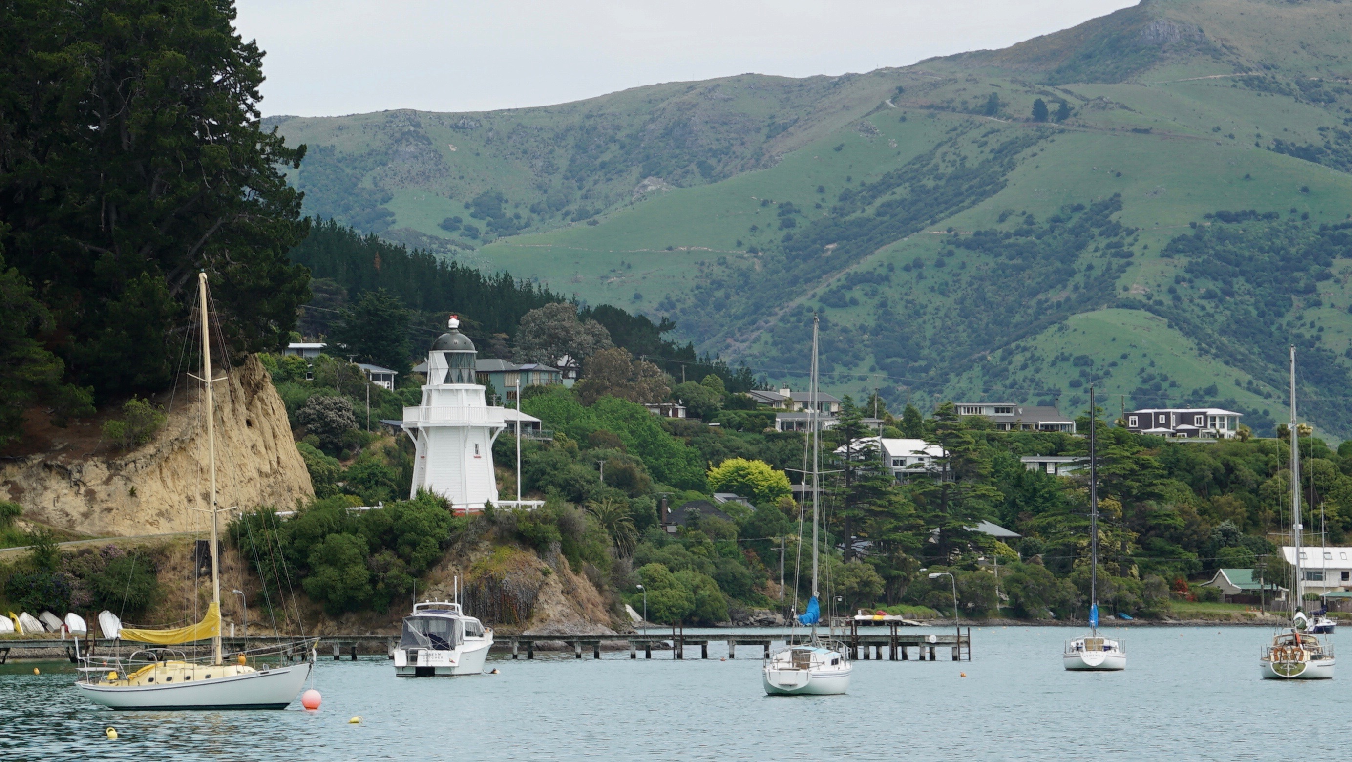
The lighthouse arouses my interest as it doesn’t seem to serve any purpose until I learn that in 1980 it was dismantled and taken from its original sensible site at the mouth of the Harbour along the steep hill road to it’s new home at Cemetery Point. Not sure why it is called that.
Still it is not the forst time it has moved as originally it was assembled in 1880 as a flat pack from the UK. Well not wuite Ikea but it s six sided design apparently is unique to New Zealand.
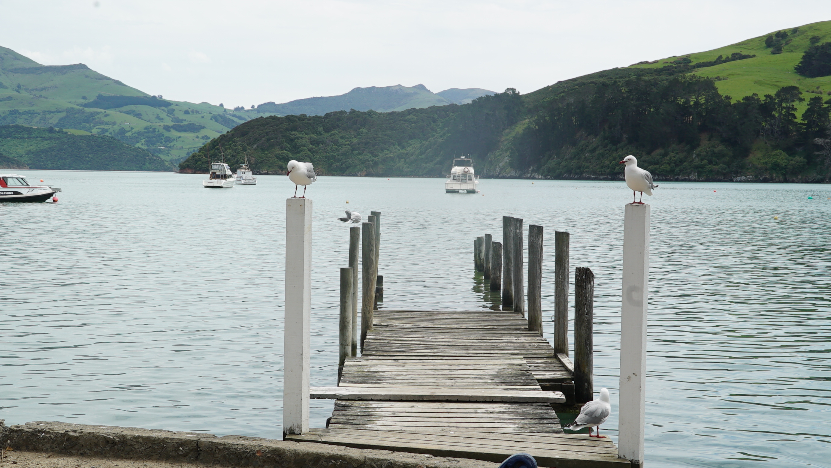
The town is orientated round the harbour and seems to retain much of the original architecture with some new funky homes built in the hills overlooking.

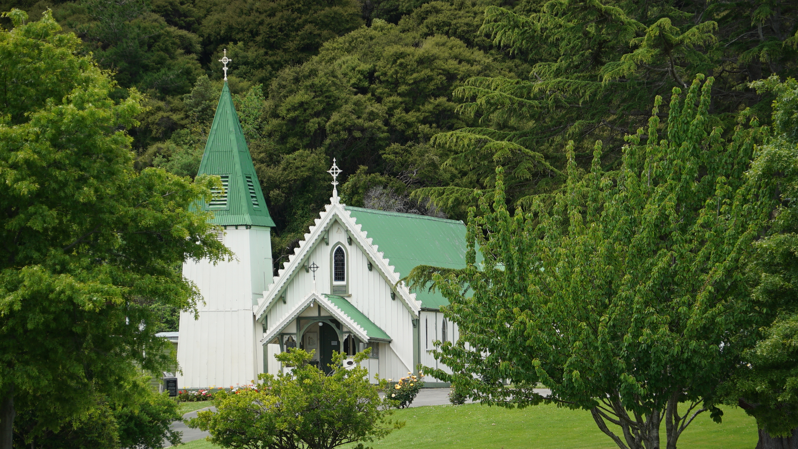
The Catholic Church is quaint.
This town has a very French population and their logo is a French flag. Apparently it was French settlers that were here originally.
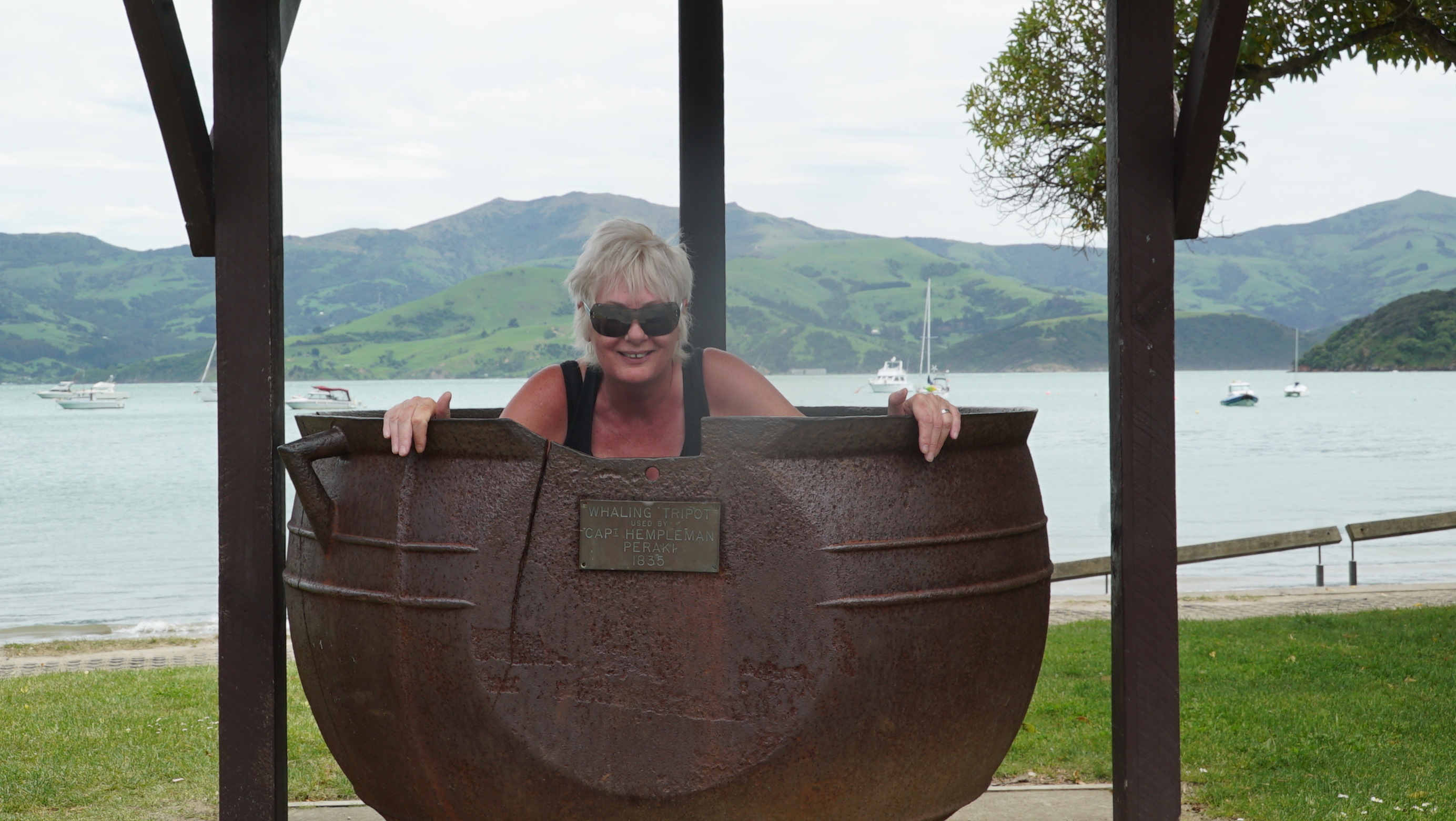
It was a whaling station and they still have the big pots for boiling the whale blubber.
Now they just boil spouses.
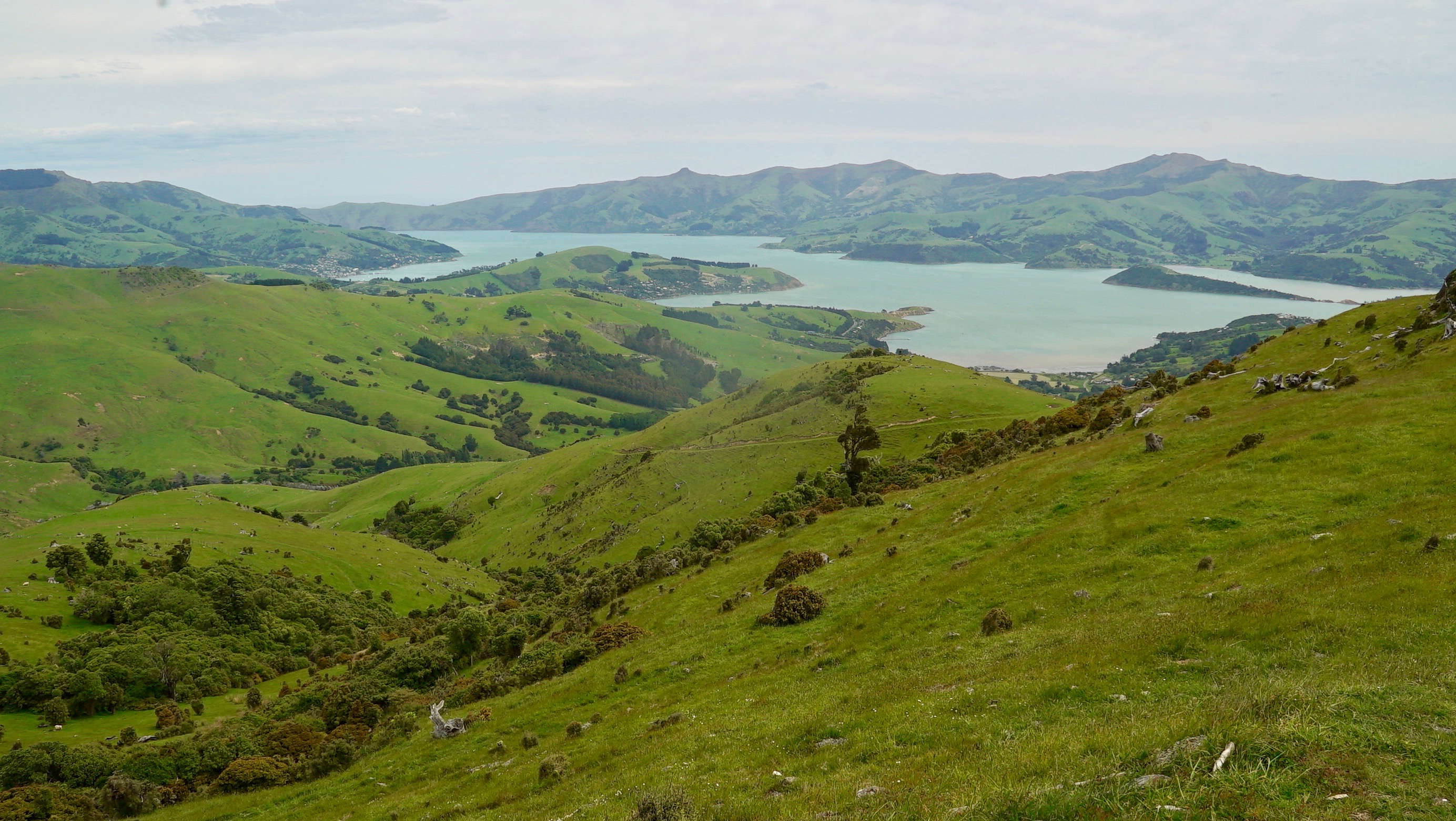
Having booked a boat trip for tomorrow we drive out of town up the tourist route 85. This is a cliff road that provides even more to die for views. ( Well if you don’t keep your eyes on the road that is). You basically climb up until you are driving along the crest of the mountain about 1200 meters above sea level. It is well worth doing and though progress is slow as the road can be relativlely narrow the surface is good and the climbs not to extreme.



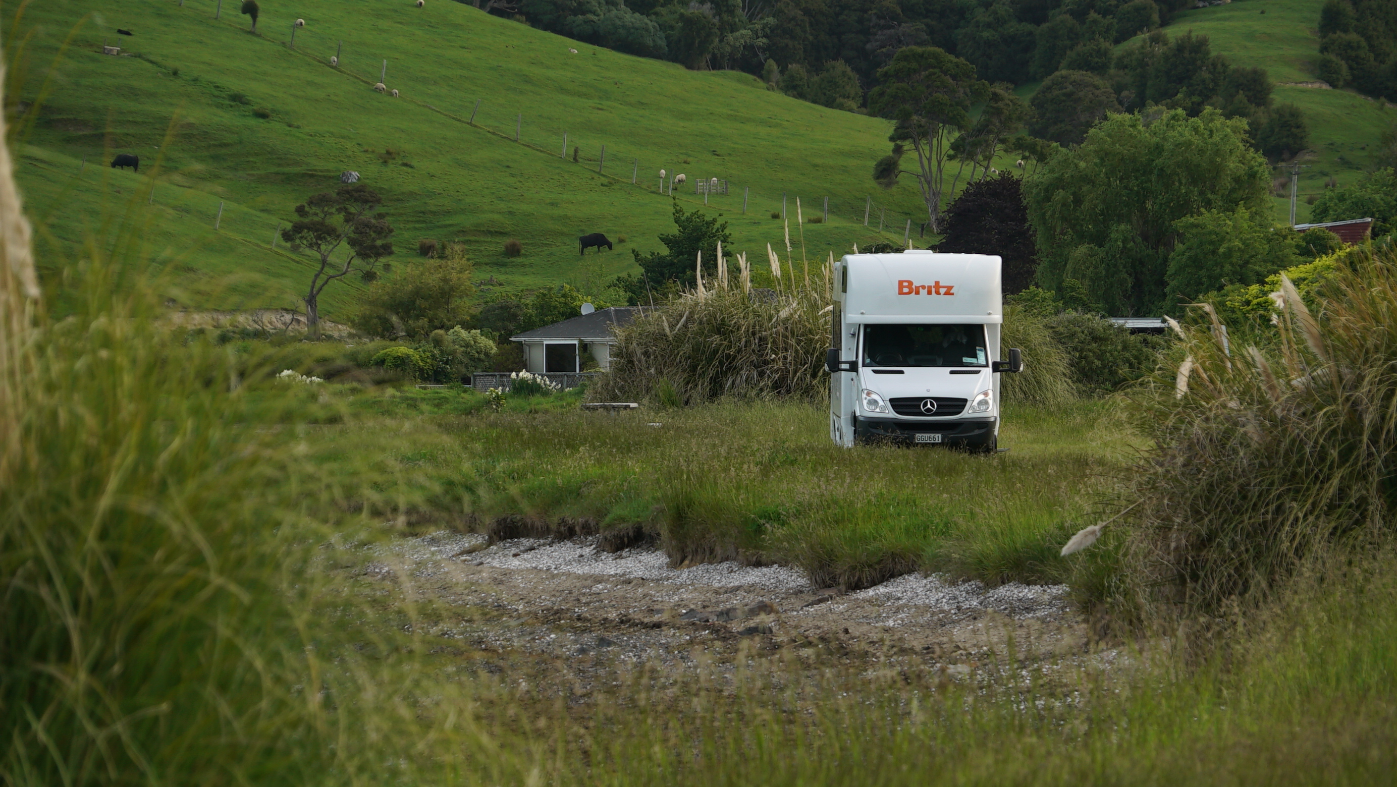
After that we need a chill so we drive out along the bay and find a quiet spot beside the road to camp for the night. The general view is different here to Australia. In Australia they have tons of signs telling you no camping and they are always guiding you to the camp sites.
So far here it seems you can camp most places unless there is a specific prohibition notice. Outside the towns there seems few.
Looks like a lot more wild camping coming up. Suits me.
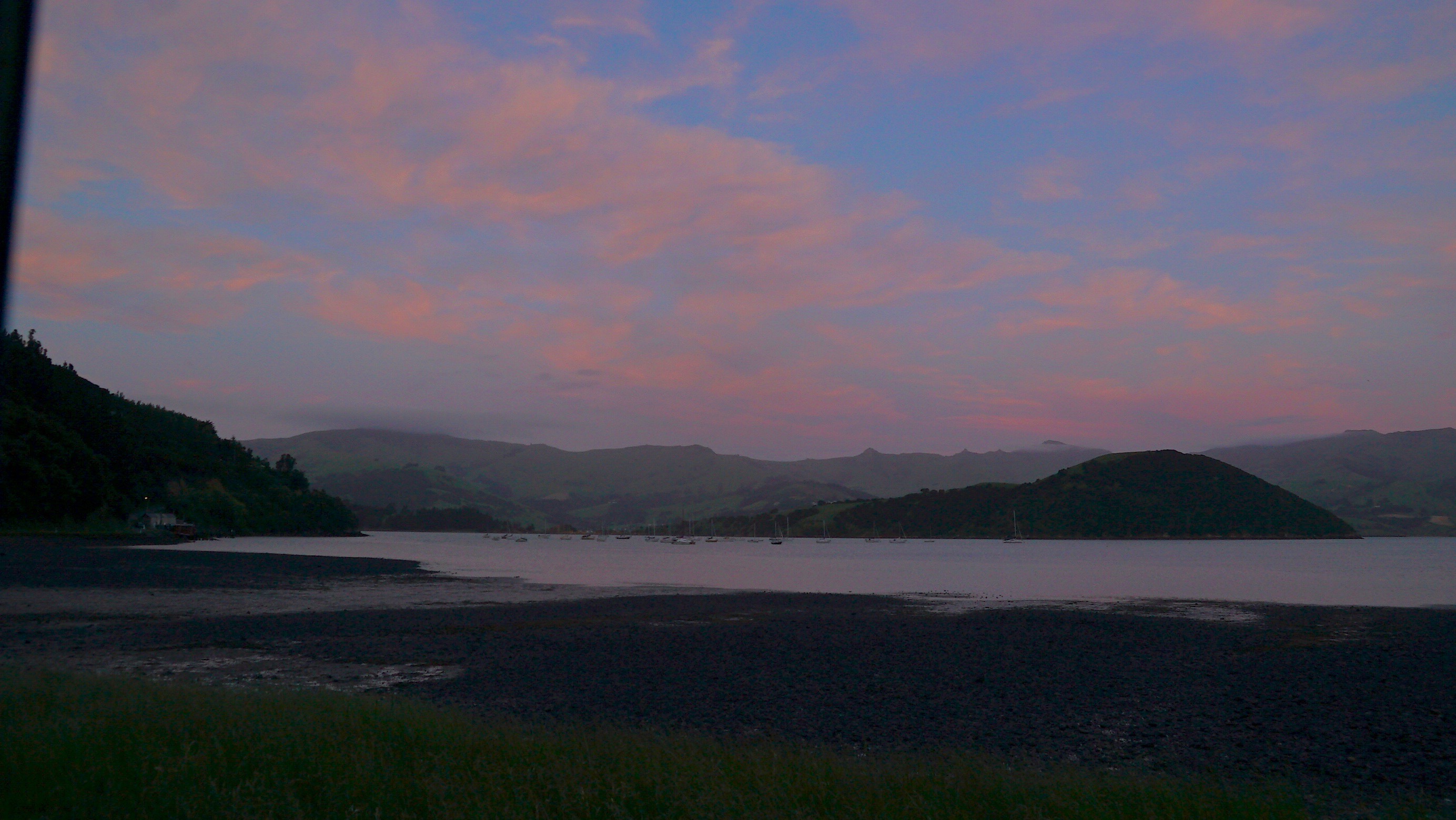
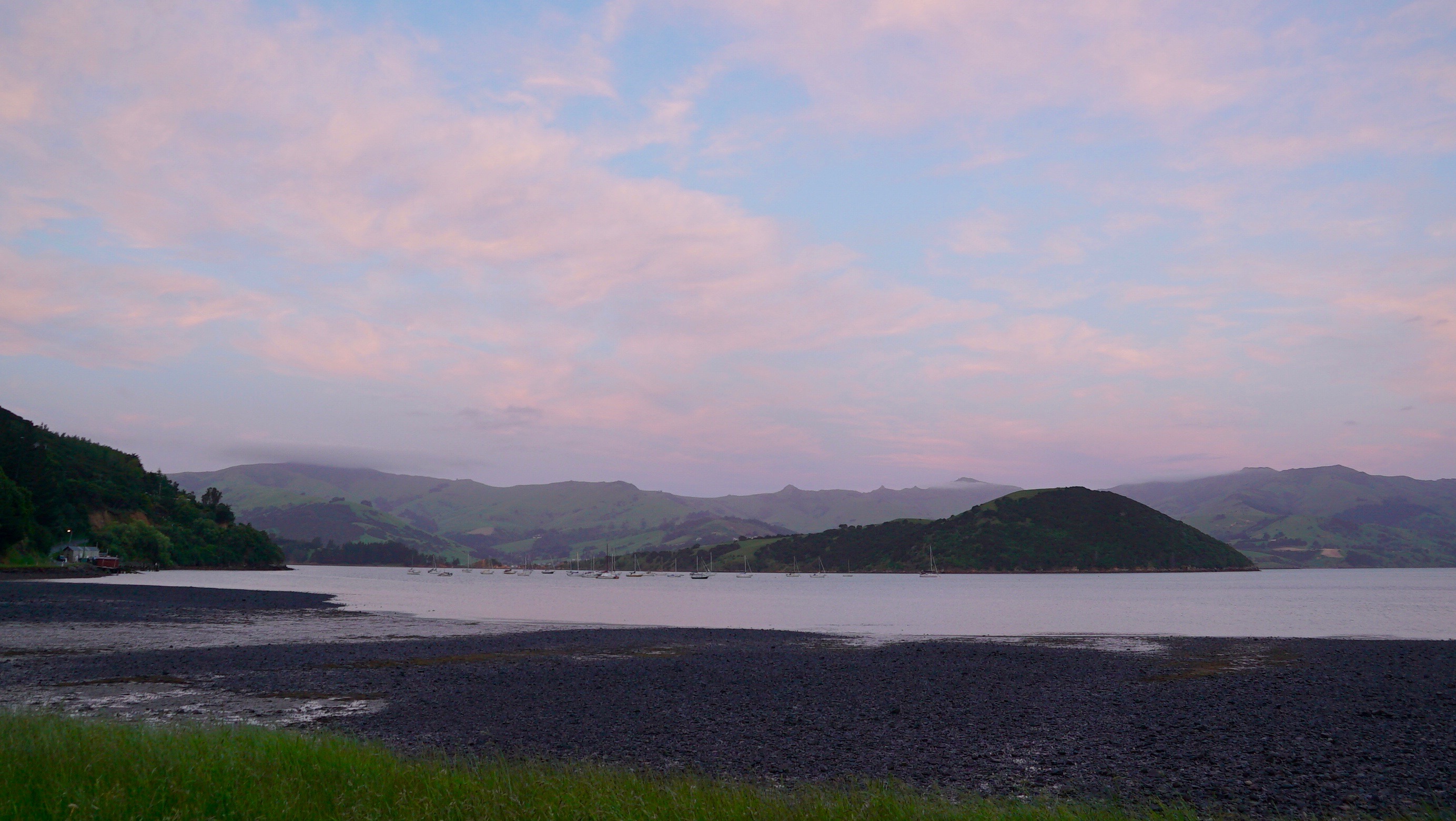
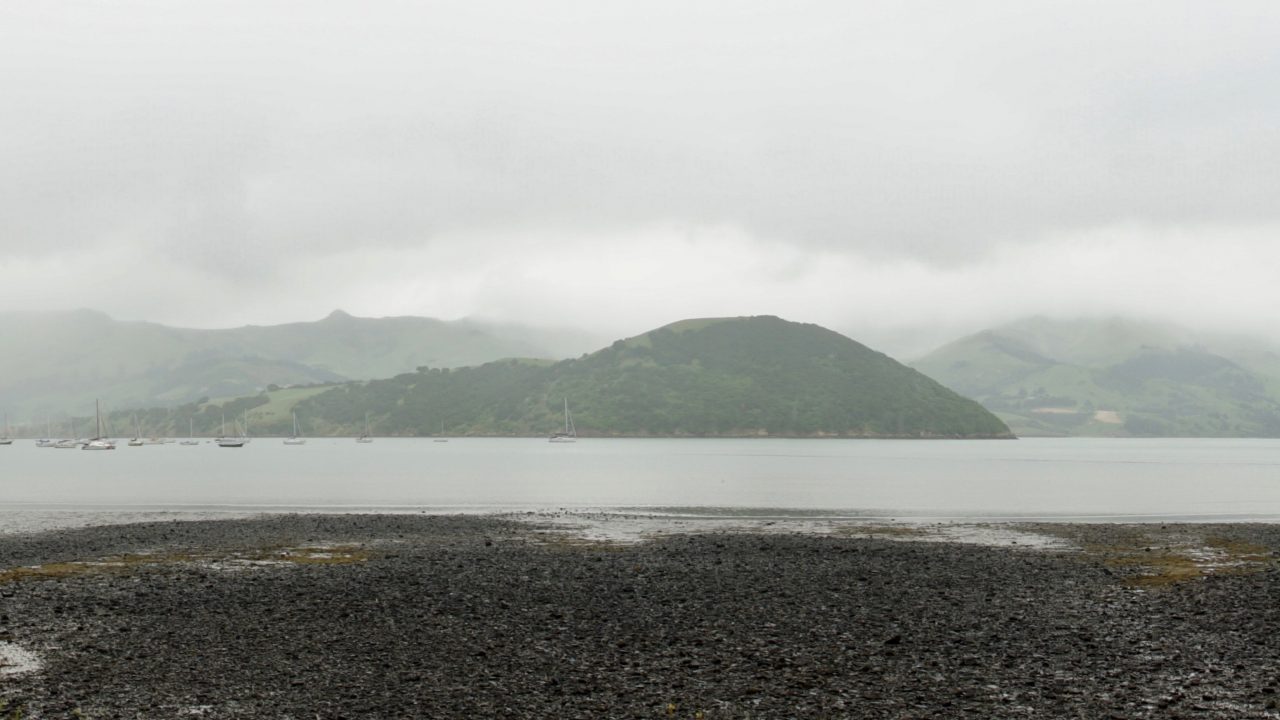
We camp at French Farm Bay.
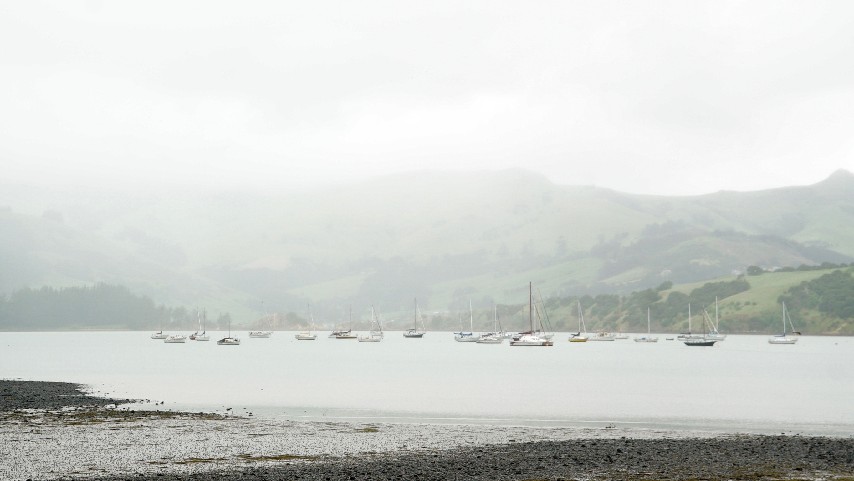
Originally the French settled this area in 1840 and it was known as Duke Decaze’s Bay.
It was the site of a French Naval Station from 1843 to 1847. This was the spot chosen for their farm beacause of favourable soils and water.
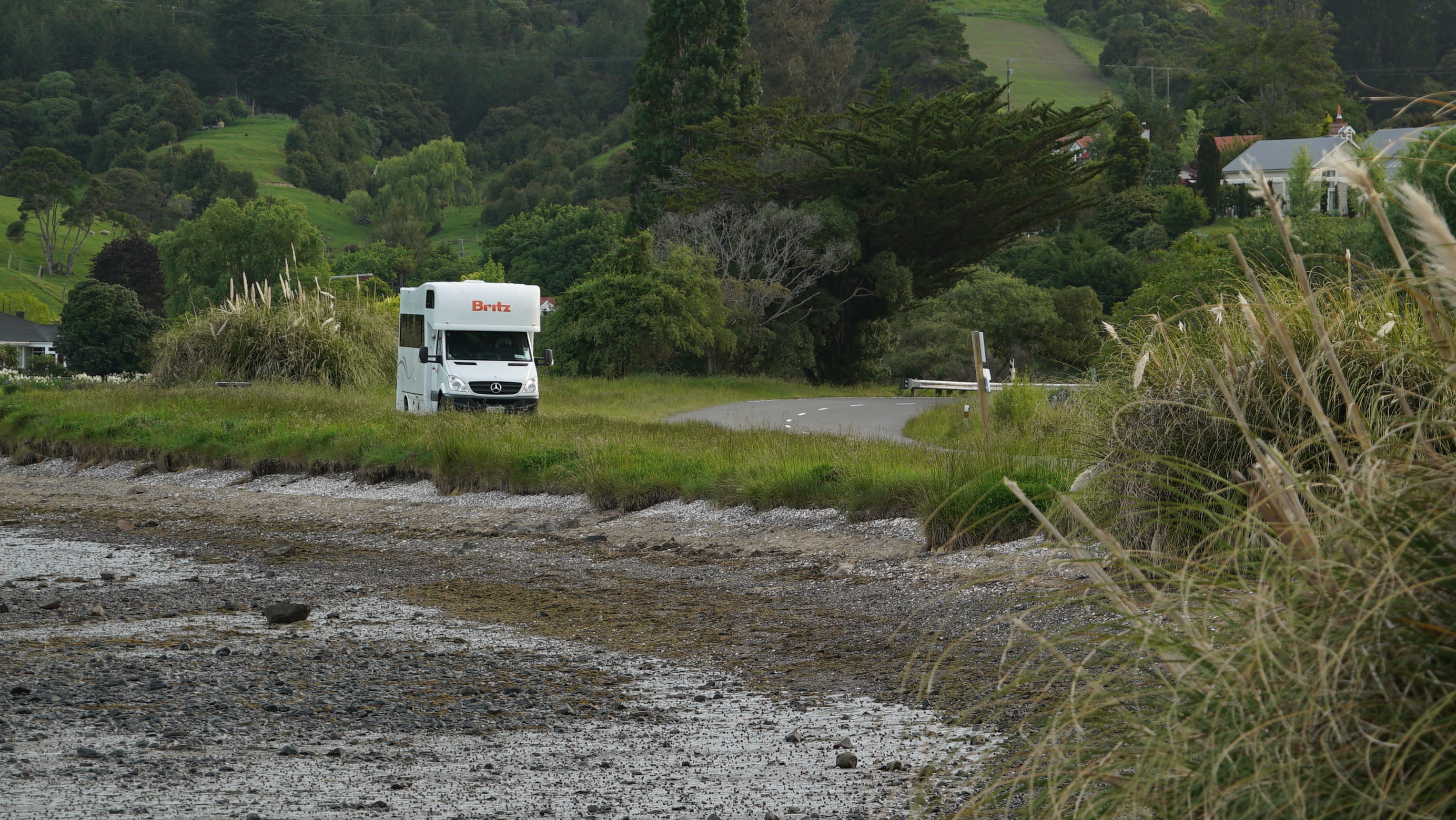
Eventurally the name was changed to French Farm.
I watch the local ducks courting each other by flapping feathers and doing a wee dance to either attract a mate or else to tell rivals to clear off.
Not being sure which is male or female it is a bit hard to tell.
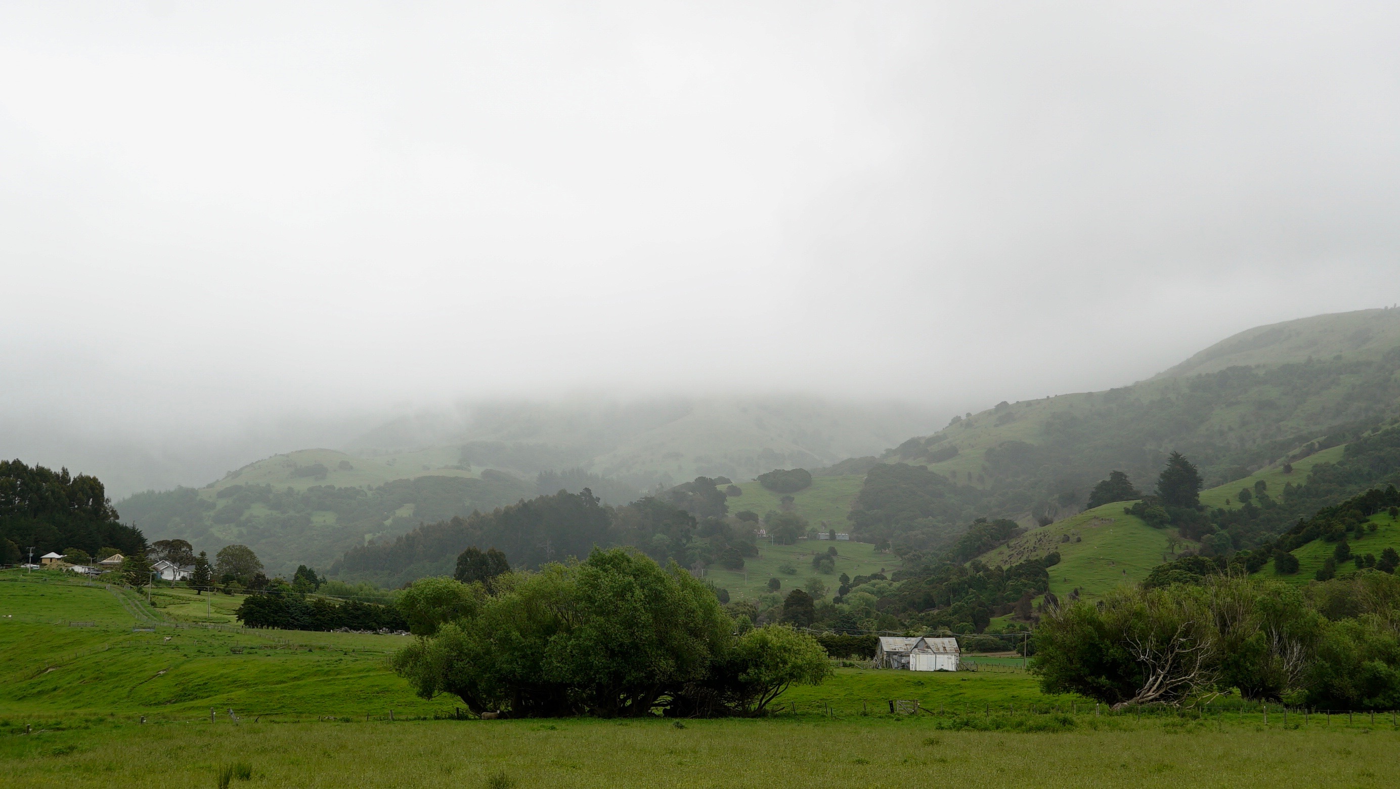
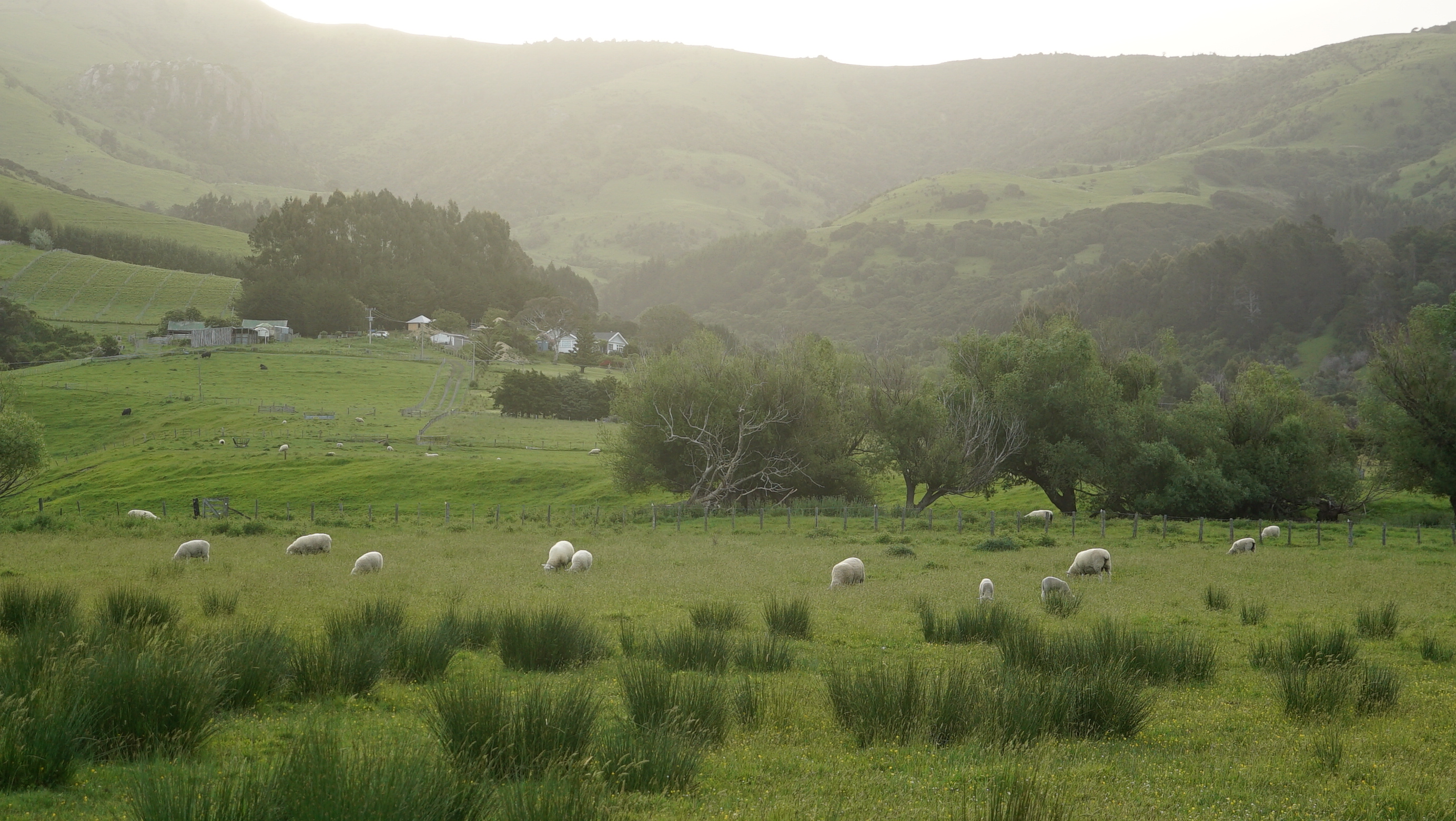
The light is soft.
The mist adds a sense of mystery and it is totally silent.
In the morning I stick my head out the window to see the dawn over the bay.
